Digital modeling of the impact of the 1755 Lisbon Earthquake / Second revised edition
Authors’ Comment
The book is the 2nd revised edition of the 2014 volume, the result of a research within the European network COST TU0801, which studies new digital models of analysis and virtual reconstruction after disasters, 3D modeling of landmarks and their integration in augmented reality with the proposed concept .
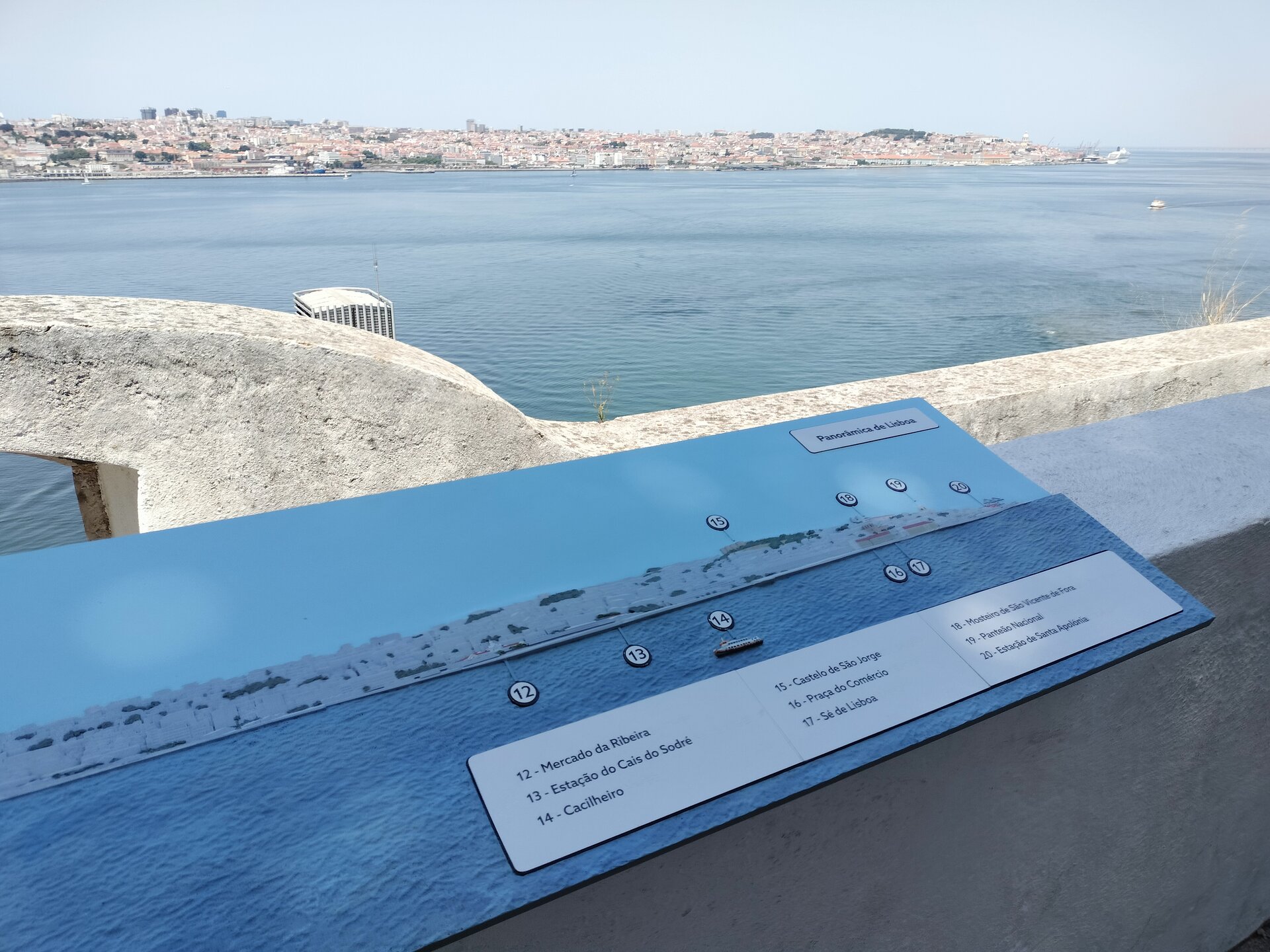
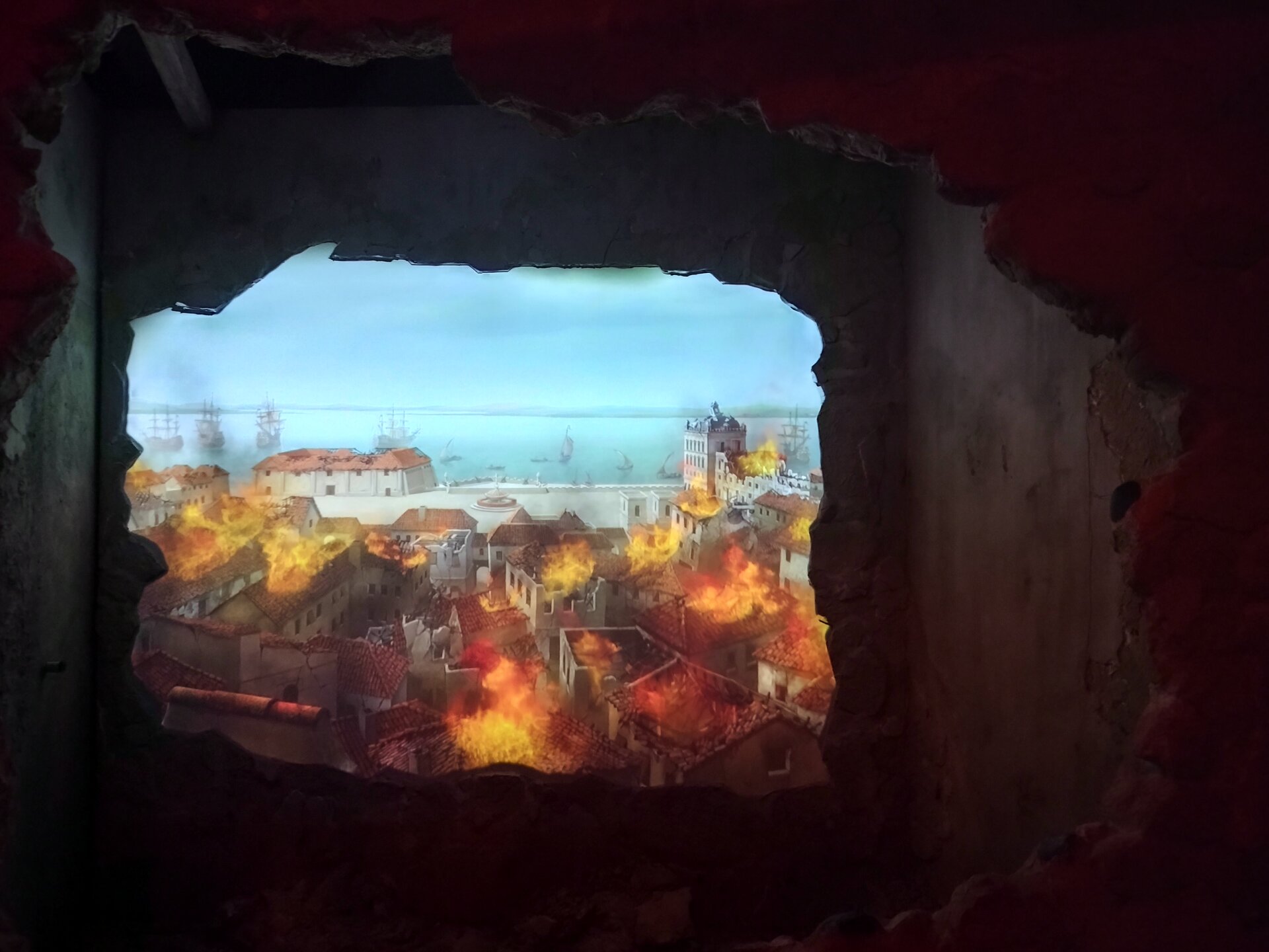
The current edition has the role of updating this model taking into account the evolution of science in these years, analyzed within the UEFISCDI PCE project "Future on the past" in which Lisbon is a case study. In 2018, a video mapping was created in the ruins preserved after the earthquake of the Convent do Carmo, and in 2022 the "Quake" museum was opened. The idea of the museum is consistent with the proposed scenography concept. The study was completed with parallels regarding the San Francisco earthquake in terms of "then and now" images as well as the reinforcement diagonals, which is also present in this museum. Also, the COVID19 pandemic has brought changes in the way digital images are perceived and used. Randolph Langenbach translated Piranesi's "then and now" image study of the ruins into film before the pandemic, and during the pandemic the Romanian Cultural Institute based in Venice created a film about Venice as seen by Romanian painters. In the post-pandemic period, plaques were placed in Baia-Mare that reproduce in enamel paintings of the Baia-Mare School, similarly to the pre-pandemic archival images of the city of Bruchsal before the bombings of the Second World War. We now propose such an approach for Lisbon: the landmarks in the concept can be placed in the "miradouro" to exemplify the silhouette and completed in augmented reality with the proposed concept. Apart from the "then and now" image revision, the mapping part was also revised with narrative maps in GIS for the routes proposed in the concept.
Architecture Books
- The Rehabilitation of Built Heritage. Theory and Technique
- Goldstein Maicu. Modern Villas.Constanța. 1931–1940
- The mediterranean architecture in romanian interwar period
- The Academic Community of the Architecture University
- Digital modeling of the impact of the 1755 Lisbon Earthquake / Second revised edition
- The Impalpable in Architecture. The Oikological Vocation and the Cosmotopic Character of the Architectural Interior
- The Dynamics of the Christian Lithurgical Space. The Influence of Function - 2nd edition revised, completed and actualized
- The Arad citadel. Architectural valences of the relationship between history and city
- Set Apart. Evangelical Worship Space
- Proportions in Architecture. Perceptions and spatial identity.
